The Connection Between Land And Water
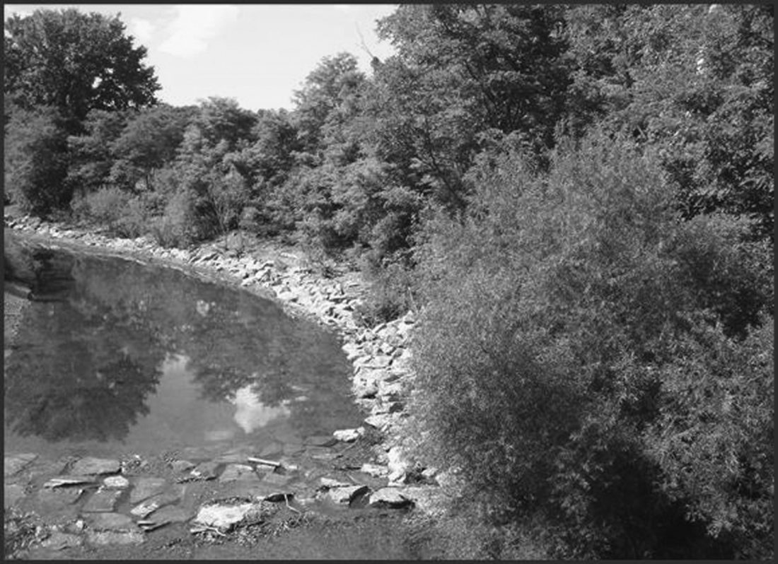
Protecting streamside vegetation with conservation easements helps prevent soil erosion and keep pollutants out of streams and other water bodies. CWC photo
The space where land meets water holds a special place in our hearts and minds. Humanity instinctively understands the important connection between land and water as evidenced by highly valued lakeside properties, the history of centering communities on waterways, and the many recreational activities that we take part in on one level or another. This instinctual attraction to water is based on the presence of good hunting and fishing habitat, recreational activities, drinking water, and floodplain soils that make great agricultural fields.
The connection between land and water may be easy to make, but the importance of this connection gets diluted the further away one gets form a streambank or lakeshore. When walking along the shore of Chautauqua Lake, it is easy to consider the impacts that human activities may have on water quality, especially a large body of water that is a source of drinking water for some communities. Move ten miles away from the shore to an upland hardwood forest with no running water in sight, and it is easy to forget that these habitats are just as critical to drinking water in Chautauqua Lake as the lakeshore is. It is even easier to overlook the big picture – that the water draining from these forests, and entering and leaving Chautauqua Lake, eventually makes its way down to the Gulf of Mexico. Large, landscape-scale watershed management is of ever increasing importance, and this is displayed in the Land Trust Alliance’s “Chesapeake Bay Land and Water Initiative” supported by the Chesapeake Bay Funders Network.
This initiative is centered around the Chesapeake Bay Watershed, an estuary that is the largest in the United States and third largest in the world. This enormous watershed spans six states, including New York. With enormous stature comes enormous issues with water quality, something the Initiative aims to improve. Land management, land use, and land cover largely determine water quality. Improper land management practices have resulted in degraded water in the Bay, which impacts tourism, agriculture, and public drinking water supplies.
We see a parallel series of issues here in our region. The waters of Chautauqua Lake have been degraded in a similar manner. We have made great strides in terms of sewer improvements that reduce phosphorous and nitrogen run off, but there is a lot more we can do. Using the same techniques that are being employed in the Chesapeake Bay Watershed, we can begin to remediate the damage done and start a trend of improving water quality. High-resolution mapping of the land cover and land use can aid in identifying areas where restoration projects will be most effective, and hydrological flow-path mapping can pinpoint where water is moving, further enhancing the impact of restoration efforts.
Two other large sources of water quality degradation are poor agricultural practices and urban/suburban development. Most farmers strive to be good stewards of their lands and waters; however, there are both good and bad farming practices. Allowing livestock to freely move through streams or fields that drain directly into tributaries serves to increase the nutrients being fed into Chautauqua Lake. Erosion caused by cattle movement on or in streams or plowing too closely to a stream bank pumps soil nutrients into these waterways as well. Often, these activities result in farmers losing their land to erosion, which eventually damages their yields and hurts them financially. Here, and through the Chesapeake Bay Initiative, funds are being awarded to work with farmers to employ “Best Management Practices” that protect agricultural land while addressing poor land use. Urban/suburban development creates large volumes of storm water that is laced with pollutants such as fertilizers, oils, gasoline, and plastics. Traditionally, storm water has been piped into the nearest stream, river, or lake and forgotten about. It is becoming painfully clear that this practice is destroying water quality downstream. Luckily, green infrastructure and ecosystem engineering can help. By creating artificial wetlands, bio swales, retention basins, and similar measures, water can be held back long enough for these contaminants to settle out before entering Chautauqua Lake.
All of these actions are necessary to prevent water quality degradation, but nothing works better than the water filtration systems found in natural forests, wetlands, and meadows. The fact that healthy waters can only come from healthy landscapes is why CWC works so hard to conserve ecologically sensitive areas in Chautauqua County. We conserve forests and wetlands, and we work with local agencies and organizations to help farmers and municipalities make the right decisions and get funding to implement the right actions. We’ve also been working to develop funding to get the analyses that the Chesapeake Bay Land and Water Initiative uses to implement these practices. Foundations who came together to form the Chesapeake Bay Funders Initiative are now partnering with conservation organizations to fund these land conservation actions in the Chesapeake watershed. Hopefully that can happen in the Chautauqua Lake watershed as well.
The Chautauqua Watershed Conservancy is a local not-for-profit organization dedicated to preserving and enhancing the water quality, scenic beauty and ecological health of the lakes, streams, wetlands and watersheds of the Chautauqua region. For more information, call 716-664-2166 or visit www.chautauquawatershed.org or www.facebook.com/chautauquawatershed.
Nature
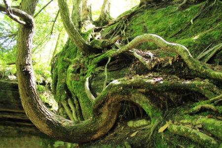
Bryophyta And No Rolling Stone

Staying Warm During A Cold Winter

What To Know About When We Get So Much Snow

The Secret World Beneath The Snow
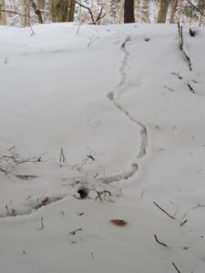
There Is Life Beneath The Snow
Winter Exposes Troubled Trees, Bark
The seasons are changing from fall to winter, and one of the major changes to the environment is that the deciduous ...