Bemus Point Accepts Finalized Strategic Master Plan
Village Revamp
-
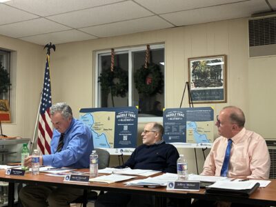
- From left are Bemus Point Deputy Mayor Ted Farnham, Trustee David Chertoff, and Mayor Jeffrey Molnar. P-J photo by Owen Reed
-
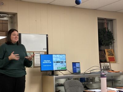
- Kristen Vanstrom begins Larson Design Group’s presentation of Bemus Point’s Final Strategic Master Plan. P-J photo by Owen Reed
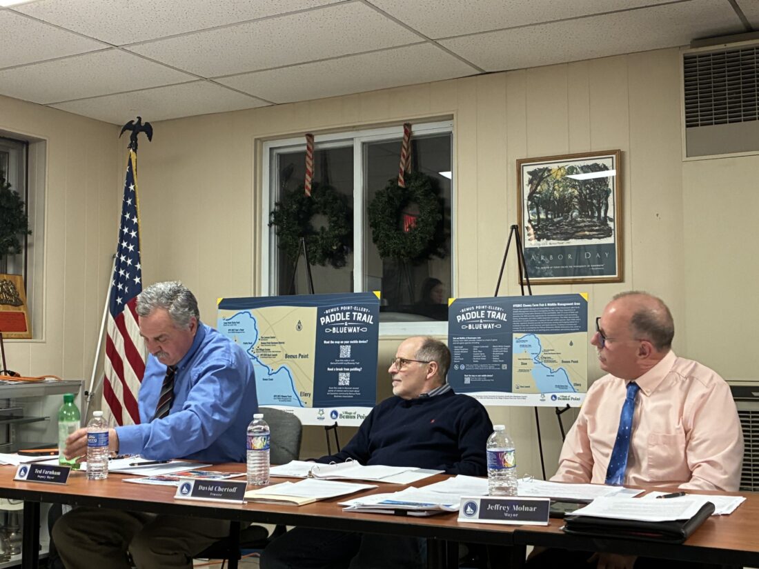
From left are Bemus Point Deputy Mayor Ted Farnham, Trustee David Chertoff, and Mayor Jeffrey Molnar. P-J photo by Owen Reed
BEMUS POINT – Bemus Point Village Board members have a new master plan to help guide the village’s decision making.
At the board’s most recent meeting, members heard a final drafted plan for the strategic master plan. The plan, presented by the Larson Design group, has been in the making for about a decade now.
With plans moving forward into the finalization stages, it seems that the village will soon have a host of major upgrades for residents and visitors to enjoy.
Kristen Vanhorn, Larson director of planning and applied GIS, led the presentation on the project. Vanhorn has previously worked as the planner for Schuyler County, which saw a great deal of work pertaining to downtown and waterfront revitalization plans.
With this knowledge and background, Vanhorn stated that much of that past experience was able to be incorporated into this project in some way. Vanhorn gave a special thanks to the hard work of Pat Dougherty as well, noting that her role was more one of guidance on available funding. The presentation given by Vanhorn at the meeting covered the final master plan for the village’s project, completing the final phase of design.

Kristen Vanstrom begins Larson Design Group’s presentation of Bemus Point’s Final Strategic Master Plan. P-J photo by Owen Reed
The idea for this project initially came about when the village’s Strategic Plan Committee, which included Kim Walters and Gifford Lawrence, identified several projects that they wanted the group to focus on designing. Many of these projects utilized ideas from the strategic plan created for the village about a decade ago. The committee’s goal was to have the design group help to develop the ideas more, to allow village officials to begin applying for grant money that will be able to aid with the project.
One focus of the presentation was on furthering pedestrian connectivity in the village. While Bemus Point is a generally walkable village, Vanhorn stated that the group wanted to gauge how walkable it truly was. To do this the organization looked at the locations of existing sidewalks in the village, and particularly made note of any location where sidewalks are missing. Vanhorn displayed a map showing the recommended areas for the village officials to install sidewalks, essentially covering most locations that were missing sidewalks. One important note is the difficulty of installing a large amount of new sidewalks quickly, said Vanhorn. As a result, the plan did consider the fact that not every road would need a sidewalk on each side. Breakdowns were given on the price, and distances, of the recommended sidewalk locations to allow village officials to choose what installations to prioritize.
The Historic Pedestrian Trial Loop was the next part of the design plans discussed. This trail is a 1.5 mile walking loop, which will be marked along the route to highlight various historical locations throughout the village. Vanhorn stated that the trail will contain markers with QR codes, similarly to the signage along the Blueway Trail. These QR codes will help to guide people walking the trail, give important information, and add a more interactive element to inspire more people to get outside. The trail will also pass through Main Street, hopefully prompting more people to visit the many local stores and shops, said Vanhorn. Vanhorn noted that some anticipated portions of the trail do not currently have sidewalks, referring back to the problem previously mentioned. As a result, the designers urge the village officials to focus efforts on the sidewalks that will overlap with the walking trail.
Another trail development is part of the finalized plan, that being the Village Stroll Loop. This loop is only 0.7 miles longer, less than half the length of the other trail. Despite the reduction in length, this trail will still cover many of the same areas, and pass many of the same historical markers, as the other trail. Vanhorn stated that the point of this trail is to offer an alternative trail for those that may not want to walk an entire 1.5 miles. Vanstrom stated that both of these trails offer a unique experience for residents to connect more with nature, and also gives yet another fun activity for visitors to check out.
Public restrooms are another large portion of the design plans discussed at the Tuesday meeting presentation. The design plans recommended that the village start off with some portable restroom options around the village. Vanstrom stated that there were many ideas that had been presented to her on different ideal locations, and types of bathrooms, that the village could install. Installing portable options first could help the village officials determine the optimal location for a more permanent public restroom before committing fully to the plan, according to Vanstrom. The two main discussed locations were by the village hall or by the public library, where portable restrooms will likely be placed at some point. Not only would this gauge the location for the village officials, but it would also gauge if the need for a public restroom is just a seasonal one, said Vanstrom.
Information kiosks would be the next portion of the project. Vanstrom stated that the designers wanted to place these kiosks in high-traffic and important locations within the village. Under the proposed design, kiosks would be placed at the library, down by the ferry stop, at the park, at the cemetery, and one between the village and the trail into the state park. The kiosks will provide maps, and various information about business and activities available in the village, said Vanstrom.
The final project plan related to updating the Lakeside Drive Trial, according to Vanstrom. Vanstrom stated that this trail is currently a connecting point that many use to drive out to the state park. Currently, there are no sidewalks or pedestrian areas around the trail, which has led many to walk along the side of the road. Vanstrom noted that it would be an incredibly expensive task to attempt to put in a sidewalk along the whole route, yet suggested an alternative idea instead. The alternative is to install some affordable bollards in a row on each side of the trail. This would create an area of separation on both sides of the road, creating a safer space for pedestrians to walk.
A highlight in the plan is the need for collaboration in order to successfully implement these projects. Vanstrom suggested that village officials look into ways that other organizations could be encouraged to participate, such as encouraging the Bemus Point Business Association to aid with the kiosks as it could be beneficial to them. Vanstrom noted that officials should act as the biggest champions for these projects now, encouraging them to spread the word of the plans. Vanstrom stated getting the word out as much as possible may just be the next crucial step in finding, and receiving, different grant funds for the projects.
Top stories
Four buildings in Brooklyn Square sold for $2.1M

Local author seeing spike in international reviews on books
‘… A Very Devastating Disease’: Through Son’s Ordeal, Mom Stays Upbeat
Americold being restructured, lowers hiring projections
One Of A Kind: Italian Festival to return to St. James Parish in July